Home
Python package for geospatial Crop Simulations
GeoEpic is an open source package that expands the capabilities of the EPIC crop simulation model, to simulate crop growth and development across large geographies, such as entire states or counties by leveraging openly availabe remote sensing products and geospatial databases. Additionally, the package features a unique calibration module that allows fine-tuning of model parameters to reflect specific local conditions or experimental results. This toolkit allows researchers to assess crop production potential, management scenarios and risks at broader scales, informing decision-making for sustainable agricultural practices.
What can you do with GeoEPIC?
Getting Input Files
Access and download necessary input files for your simulations from various geospatial databases.
Learn MoreSite Simulation
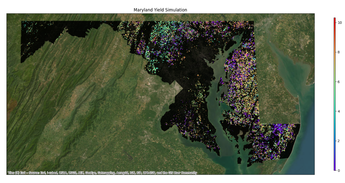
Run simulations to model crop growth and development across different geographies.
Learn MoreModel Calibration
Calibrate model parameters to match local conditions or experimental data for more accurate simulations.
Learn MoreRemote Sensing
Utilize remote sensing data to enhance the accuracy and scope of your crop simulations.
Learn MoreContributors
- Bharath Irigireddy, Varaprasad Bandaru, Sachin Velmurgan, SMaRS Group
- Contact: prasad.bandaru@usda.gov